What is GPS Running Art? (Create Your Own with 4 Easy GPS Trackers!)
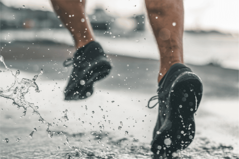
Whether you’re an experienced runner looking for a new challenge or a beginner looking for a unique way to stay motivated, GPS running art is a great way to add some creativity and variety to your workouts.
GPS running art is a way for runners to blend their love for training with their creativity. A GPS artist will create a digital drawing by tracking his/her movements in a specific training session with a GPS tracking app such as Strava and carefully following a predetermined pattern to create a shareable map with a shape, word, or symbol.
Let’s dive deeper into the world of GPS running art, including how to get started, tips and tricks for creating your own designs, and inspiration for your next running masterpiece. Keep reading below to find answers to all of your questions regarding GPS running art!
What is GPS art?
Running can be difficult for some people, beginners in particular. GPS art can make the entire exercise worthwhile, giving you a short-term goal to look forward to at the end of your run.
GPS art is a form of creative expression that involves using a GPS device or GPS-enabled smartphone to create a visual design or image by running, driving, walking, or traveling a predetermined route. The GPS device or smartphone tracks your movements and records the location, speed, and distance traveled, allowing you to create a unique image or design by following a specific path.
GPS art can be used to create a wide range of designs and images, from simple shapes and patterns to more complex and detailed images. Some people use GPS running art as a way to stay motivated and engaged while running, while others use it as a form of artistic expression or as a way to create public art installations.
How did GPS art start?
While GPS art might seem like a modern invention, it actually wasn’t.
The first instance of GPS art in memory came in 1999, when Reid Stowe, a sailor, and environmental activist, took a 194-day sea journey in the South Atlantic Ocean, plotting a course in the shape of a 1,900-14,000 nautical mile sea turtle. His antics created quite a buzz, landing him publicity for his message from publications such as The New York Times.
Since then, others have used GPS art to communicate with their friends, loved ones, family, and the world at large. Yassan, a famous Japanese GPS artist, used Google Earth to create a trip that would spell out a giant marriage proposal to his girlfriend using the entire main island of Japan.
GPS art is a fun and creative way to make running, walking, cycling, swimming, or adventuring much more fun!
How to create GPS art?

Creating GPS art isn’t rocket science, but you must make proper preparations to ensure you get the best possible result.
Here are some steps you can follow to create GPS running art:
- Choose a design or image to create.
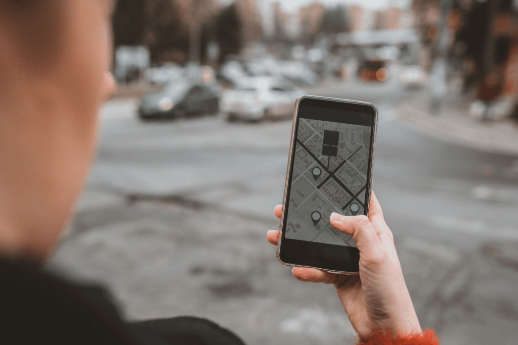
- Use a GPS tracking app or device to record your route.
- Export your GPS data.
- Use a GPS art website or application to upload and process your data.
- Share your GPS running art on social media or with friends and family.
Note: When creating GPS running art, it’s important to be mindful of safety and carefully consider your route. Avoid running in areas with heavy traffic or other potential hazards.
Choose a Design or Image to Create
GPS art is in the eye of the beholder. If you have a beautiful shape or message that you want to create, use your imagination and plan out your route. This could be a simple shape or a more complex image. It’s really up to you and how much you’re willing to run.
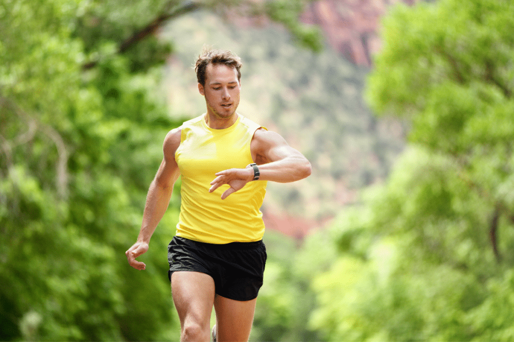
Use a GPS Tracking Application or Device to Record Your Route
Make sure to run the route slowly and carefully, following the lines and shapes of your chosen design as closely as possible. This will ensure that the shape doesn’t have odd stray lines or marks that ruin the finished product.
Export Your GPS Data
Export your GPS data to your smartphone or computer. This will typically be in the form of a .gpx or .tcx file. Once you have this data, you can input it into your chosen application, software, or GPS art website.
Use a GPS Art Website or Software Tool to Upload and Process Your Data
These tools will take your data and create a map of your running route, which you can then customize and fine-tune to match your desired design. Some examples of these types of programs include Strava and Runkeeper.
Share Your GPS Running Art on Social Media or With Friends and Family
The point of creating art is to share it with others. With many of these GPS art websites or apps, you can easily share them with friends and family using social media. You can also print it out and hang it on your wall as a unique piece of artwork.
Tips for making GPS running art
Creating GPS art, like any other form of art, takes work and dedication. Here are some tips to help you achieve your running art goals:
- Carefully plan your route – Use a GPS tracking app: There are a lot of apps available that can help you track your run and create a map of your route. Look for an app that allows you to export the map as an image or GPX file, so you can easily share it or use it to create your art.
- Be patient – Creating GPS running art can be time-consuming, especially if you’re trying to achieve a detailed or intricate design. Don’t get discouraged if it takes you a few tries to get it right – keep practicing and refining your route until you’re satisfied with the result.
- Experiment with different routes – Don’t be afraid to try out different routes and see what works best for you. You may find that some paths or streets are better suited for creating certain shapes or designs and that some routes are more aesthetically pleasing than others.
- Have fun – Remember that GPS running art is supposed to be a fun and creative activity, so don’t take it too seriously. Enjoy the process of planning and executing your routes, and take pride in the unique and personal artwork you create.
Best apps for GPS art
Several apps available can help you create GPS art, but finding the best one might take some experimenting. Below are some of the best GPS apps you can try.
- Strava – Strava is one of the most common applications for sports tracking. It is mostly used for cycling and running. It allows you to set goals, track your movements, and consult your data to assist with your training. Stava also contains a social networking component that allows you to share your training with your friends and family.
- Relive – Relive offers many of the same features that Strava does. It does, however, appeal to the more creative types, as one feature allows you to turn your training into animated 3D videos that you can share with your friends and family.
- Runkeeper – Runkeeper is an application by ASICS that allows you to track your runs using GPS technology. While this app is more basic in its functionality than the previous two, it still allows for the creation of GPS art.
- Nike Run Club – Like runkeeper, Nike Run Club offers more basic run tracking and allows map functionality for the creation of GPS artwork.
Can I use Google Maps for art?
You may use Google maps to create GPS art, but results may not be as strong as using a GPS tracking app such as Strava, Relive, Runkeeper, or Nike Run Club.
To create GPS art using Google Maps, you can use the map’s drawing tools to plot out a series of GPS coordinates that form the shape or design you want to create. However, Google maps will not allow you to track your movement to create specific shapes in real-time. This takes some of the fun out of creating the art and may not be an ideal app to use for your GPS art.
- About the Author
- Latest Posts
Joshua Bartlett is a UESCA Certified Running Coach and Editor at Your Next Run.
It is his job to make sure that readers get only highly-researched and comprehensive questions to all of their running questions.